-
Our Community
-
- Welcome Visitors About Durham's Community Climate Remembrance Project Diversity Welcome Statement Life in Durham Places to Stay Places to Eat Places to Park Transportation Schools Oyster River School District Welcome New Homeowners
- Durham Public Library Programs & Events Trails and Town Lands Conservation Commission Land Stewardship Conservation Lands & Parks Conservation Easements Trails Youth Organizations University of New Hampshire Durham Preservation Durham Historic Association
- Volunteer Town of Durham Land Stewardship Public Library UNH Cooperative Extension Churchill Rink Parks & Recreation Recreation Program Calendar Outdoor Recreation Activities Outdoor Recreation Sites Sustainable Durham Recycling Information Swap Shop Information Earth Day 2023
-
- Doing Business
-
Inside Town Hall
-
- Departments Assessing Building Business Office Code Enforcement Information Technology Planning Town Clerk/Tax Collector Parks & Recreation Boards, Commissions & Committees Agricultural Commission Conservation Commission Historic District/Heritage Comm. Other Boards & Committees Planning Board Zoning Board
- DCAT Media Productions DCAT Media - Programming DCAT Media Livestream Zoom Video Meeting Schedule Town Council Town Administration Public Hearings Public Safety Police Fire McGregor Memorial EMS (Ambulance)
- Public Works Engineering Division Operations Division Sanitation Division Water Division Wastewater Division Stormwater Town Directory Telephone Directory by Department Services Directory
-
-
Helpful Resources
-
- Quick Links Assessors Online Database Bids and RFP’s DCAT Media Productions GIS Digital Maps Jobs Online Services Parking Information Social Services Town Holidays Trash Pick Up Holiday Schedule Transfer Station & Recycling Center Information Curbside Refuse Collection by Street Zoom Video Meeting Schedule
- Town Documents Budget & CIP Forms & Applications Master Plan Tax Increment Finance (TIF) Districts Tax Maps Town Charter Town Code Town Reports Town Wide Master Fee Schedule Zoning Ordinance Voter Information
- Contact Us Cemetery Information Social Media Facebook Twitter Town Newsletter Friday Updates Town Meetings & Events Agenda and Minutes Calendar Public Hearing Notices State & U.S. Representatives
-
Oyster River Forest

Packers Falls Road | 172 acres
DIRECTIONS: From downtown Durham, take Mill Road all the way to the end (approximately 2.5 miles). Turn right onto Packers Falls Road. The trailhead parking lot is immediately to your right. A connector trail leads from the kiosk to an entrance gate, which leads to the Oyster River Forest and Spruce Hole Bog trail network. Google Map
Oyster River Forest Trail Map and Property Summary
--------------------------------------
NEW: STATE AND FEDERAL GRANTS SUPPORT HABITAT RESTORATION on OYSTER RIVER FOREST and THOMPSON FOREST
Durham received two grants that have helped control invasive plants and allow native wildflowers, shrubs, and trees to thrive at two conservation areas: Oyster River Forest (ORF) and Thompson Forest (TF). A two-year $9,050 grant from the State Conservation Committee was used to contract with the Rockingham County Conservation District (RCCD) to apply targeted herbicide on glossy and common buckthorns, autumn olive, multiflora rose, bush honeysuckles, barberries, and Asiatic bittersweet vines growing among native vegetation in a section of the 60-acre early successional habitat at Oyster River Forest. This grant is supported by funds from the sale of the Conservation License Plate (Moose Plate) through the NH State Conservation Committee grant program. READ more here.
---------------------------------------
Welcome to the OYSTER RIVER FOREST and SPRUCE HOLE CONSERVATION AREA
Help Durham keep these town-owned lands healthy and accessible – please carry out what you carry in
EXPLORE the 172-acre Oyster River Forest and the 42-acre Spruce Hole Conservation Area and
DISCOVER the many benefits that these conserved lands offer people and nature.
ENJOY: Hiking and Running, Snowshoeing and X-Country Skiing, Mountain Biking on trails, Fishing and Nature Observation, Hunting (Oyster River Forest only), Walking dogs on leash and on trails (to protect native plants and animals); pick up waste
BUT PLEASE:
- No hunting on the Spruce Hole Bog Conservation Area
- No motorized vehicles
- No camping or fires
LEARN ABOUT INVASIVE PLANTS
The Oyster River Forest has a large population of invasive plants. Plants such as glossy buckthorn, autumn olive, and Asian bittersweet can out-compete native plants, impact endangered species, and cause other problems in the environment. Invasive plants are most effectively controlled when they first appear. Staff and volunteers are working hard to limit the impact of invasive plants here and other Town of Durham lands. To learn more about invasive plants in this area, visit the UNH Cooperative Extension website: https://extension.unh.edu/resource/invasive-plants.
TRAILS
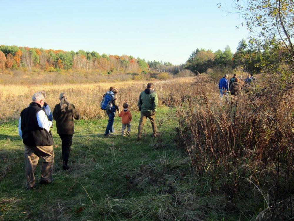
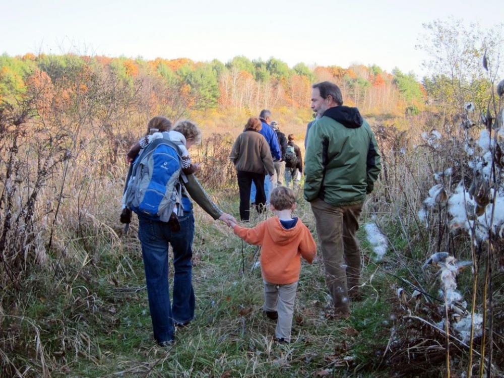
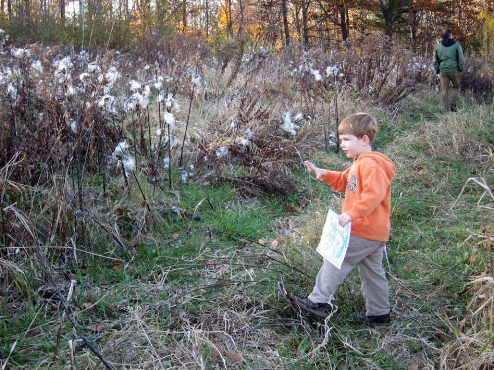
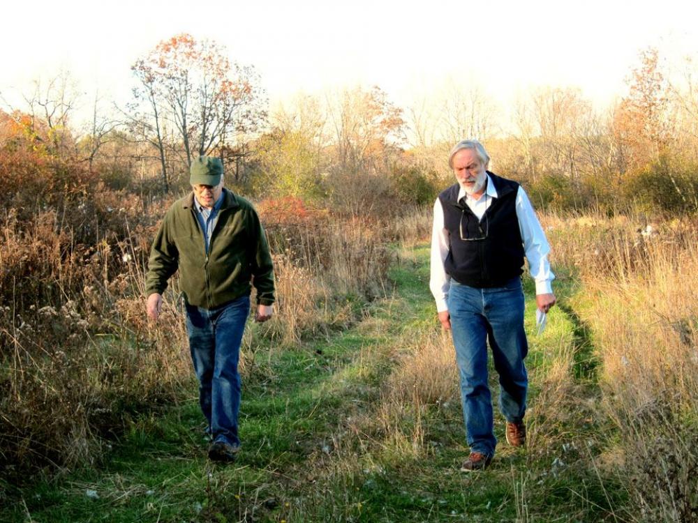
Nearly three miles of trails make up the Spruce Hole Bog and Oyster River Forest network. Looking for a short walk? A 0.6-mile round trip universally accessible trail takes people of all abilities to an overlook of the unique Spruce Hole Bog. Looking for a longer excursion? Follow the Oyster River Trail to the Oyster River Bridge in UNH College Woods. This 3.5 mile round trip trail passes through an oak-pine forest, a restored meadow and shrub habitat, then winds through the forest along the Oyster River. Side trails lead along historic stonewalls, past an old foundation, and under huge white oak, shagbark hickory, and pitch pine trees.
SHRUB AND YOUNG FOREST HABITAT
Sixty acres at the north end of the property bordering the Oyster River is managed as meadow, shrub and young forest habitat to benefit songbirds, bumblebees, monarch butterflies and other native pollinators, the state endangered New England cottontail rabbit, among other wildlife. Funding from the Natural Resources Conservation Service, and a partnership with NH Fish and Game and the Rockingham County Conservation District, has enabled the Town to remove and control a severe infestation of invasive shrubs and restore a mix of native shrubs, wildflowers, and trees.
STRATIFIED DRIFT AQUIFER
The Spruce Hole Stratified Drift Aquifer lies beneath a portion of these properties. This underground geologic formation is a thick layer of sand and gravel deposited by glaciers more than 10,000 years ago. Water accumulates in the pore spaces and is the main drinking water supply for the Town of Durham and University of New Hampshire.
SPRUCE HOLE BOG
Designated as a National Natural Landmark by the National Park Service, this deep depression was formed during glaciation when massive blocks of ice broke off and over time melted to form the “kettle hole.” A trail leads around the top of the depression to protect the water quality and unique plant community of the bog, which includes a rich diversity of mosses, liverworts and sedges, black spruce, leatherleaf, and many other species.
THE OYSTER RIVER
The Oyster River Forest includes nearly a mile of frontage along the Oyster River, one of seven rivers that flow into the Great Bay Estuary. The river and its corridor are home to wild brook trout, the state-endangered American brook lamprey, beaver, mink, and raccoon.
APPALACHIAN OAK-PINE FOREST
Most of the woodlands here are Appalachian oak–pine forest. This forest type grows on dry, sandy soils and in New Hampshire is only found in the southern-most parts of the state. A walk through these woods will reveal a tree canopy of red, white and black oaks, pitch pine and white pine, and shagbark hickory. The Town of Durham works with a consulting forester to conduct periodic timber harvests to keep the forest healthy and maintain wildlife habitat.
REMNANTS OF AN AGRICULTURAL PAST
Those with a keen eye toward “reading the landscape” will discover several remnants of an agricultural history here. Large, gnarly pines and eastern red cedar trees grow in areas that were pastured in the not too distant past. Stonewalls and barbed wire fencing offer more clues of a farm history, including a rusting disk harrow resting beneath a large red maple near the field edge.
Click any thumbnail image to view a slideshow